Best Walks on the Gower Peninsula
Check tide times, livestock notices and access conditions before you go. Some routes include steep/uneven sections, exposed cliffs or tidal causeways (e.g. Worm’s Head). Allow extra time in wet or windy weather.
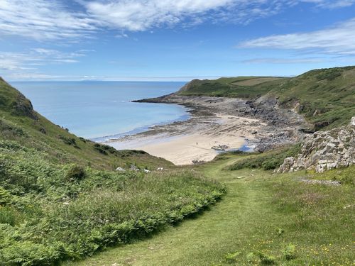
Rhossili Bay Circular
Circular • ~11.9 km • ~3 h 17 m. Iconic views, big skies and broad sands; steep sections in places.
Route guide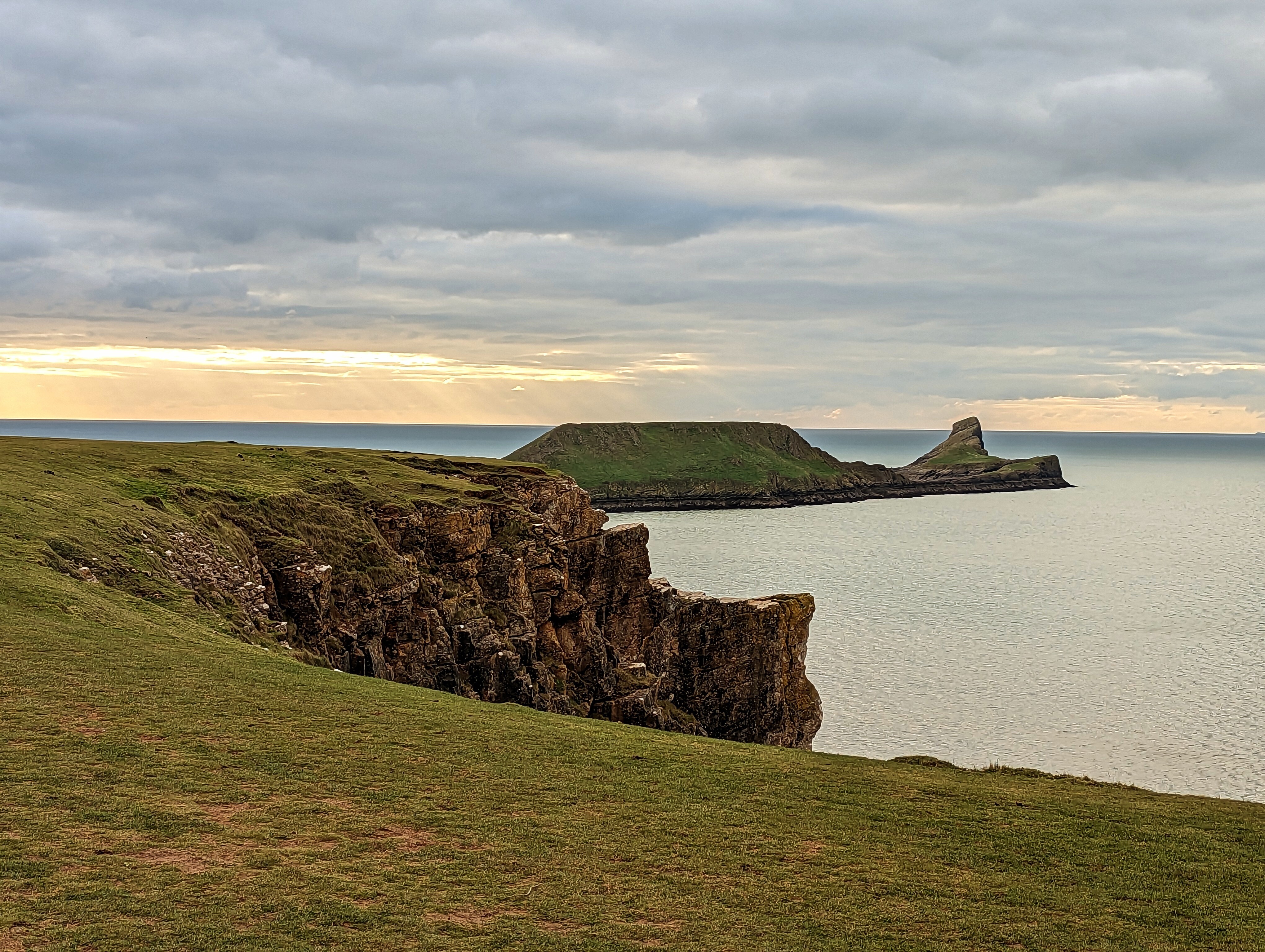
Worm’s Head Walk
Out & back • ~7.4 km • ~1 h 44 m. Tidal causeway — cross only within safe windows; check tide boards at Rhossili.
Route guide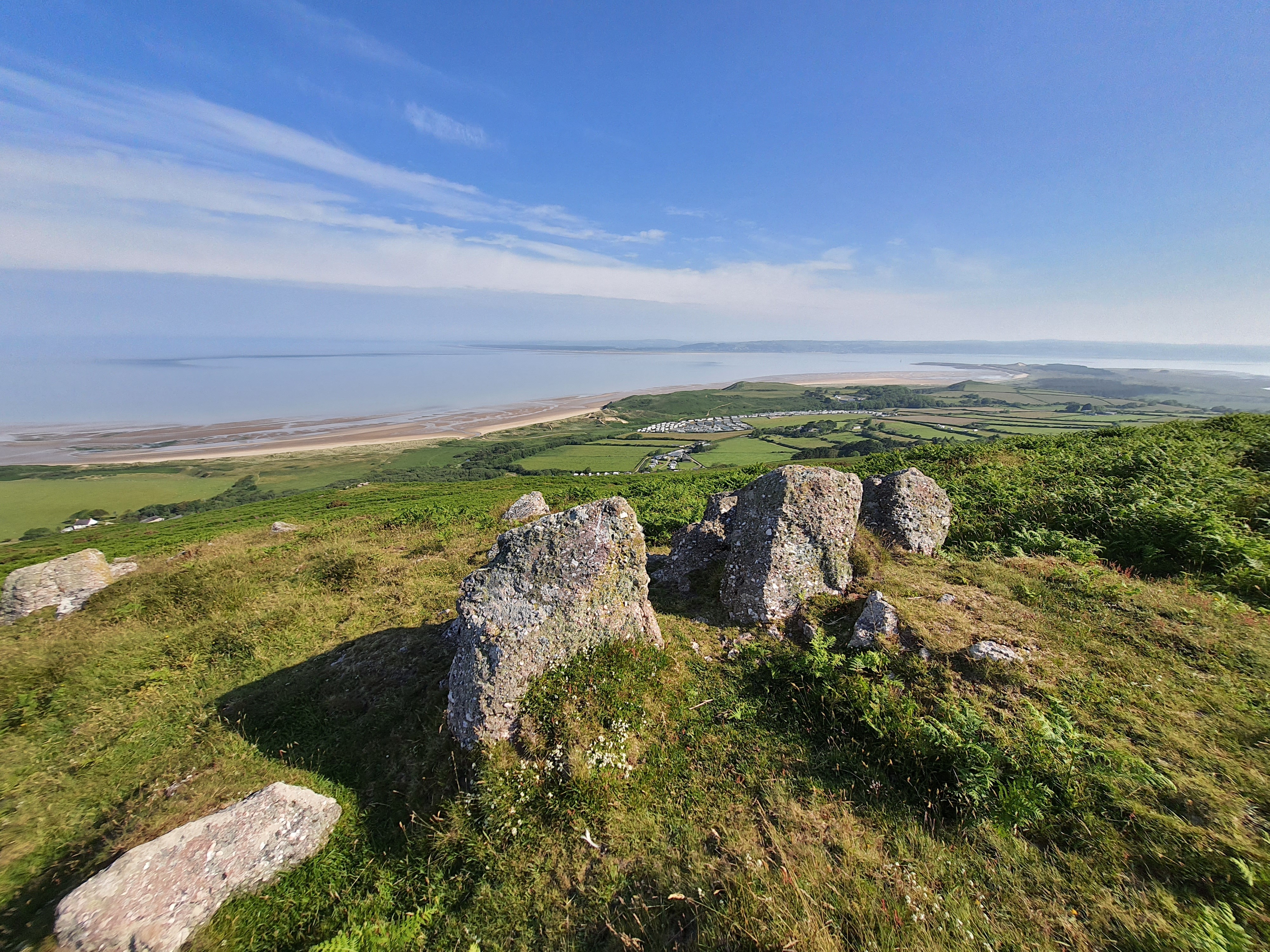
Llanmadoc Hill Circular
Circular • ~4.5 km • ~1 h 17 m. Gentle hill walking with sweeping views over the Loughor estuary.
Route guide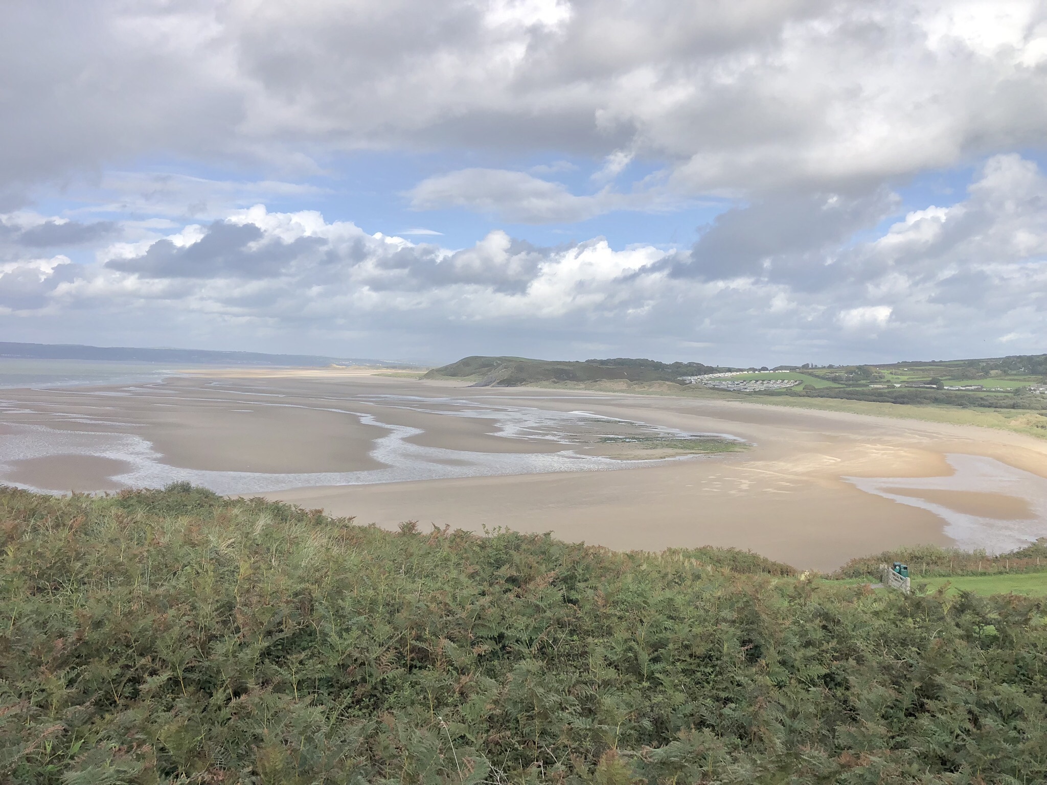
Blue Pool Circular
Circular • ~3.5 km • ~53 m. Quiet cove; best near low tide. Footpaths can be sandy and uneven.
Route guide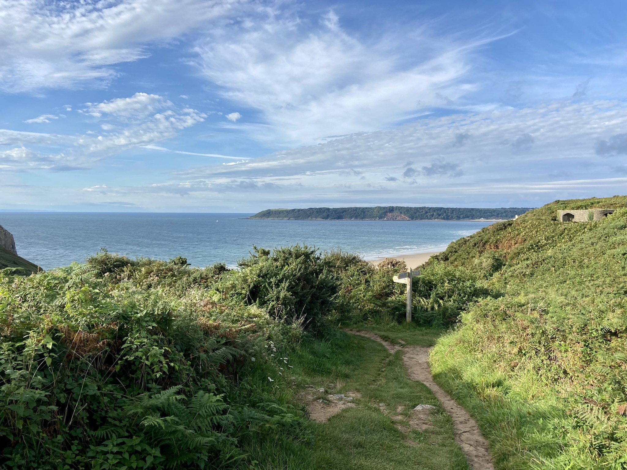
Three Cliffs Bay and Nicholson Circular
Circular • ~6.8 km • ~2 h 02 m. Classic Gower scenery; tidal stream crossings — check levels.
Route guide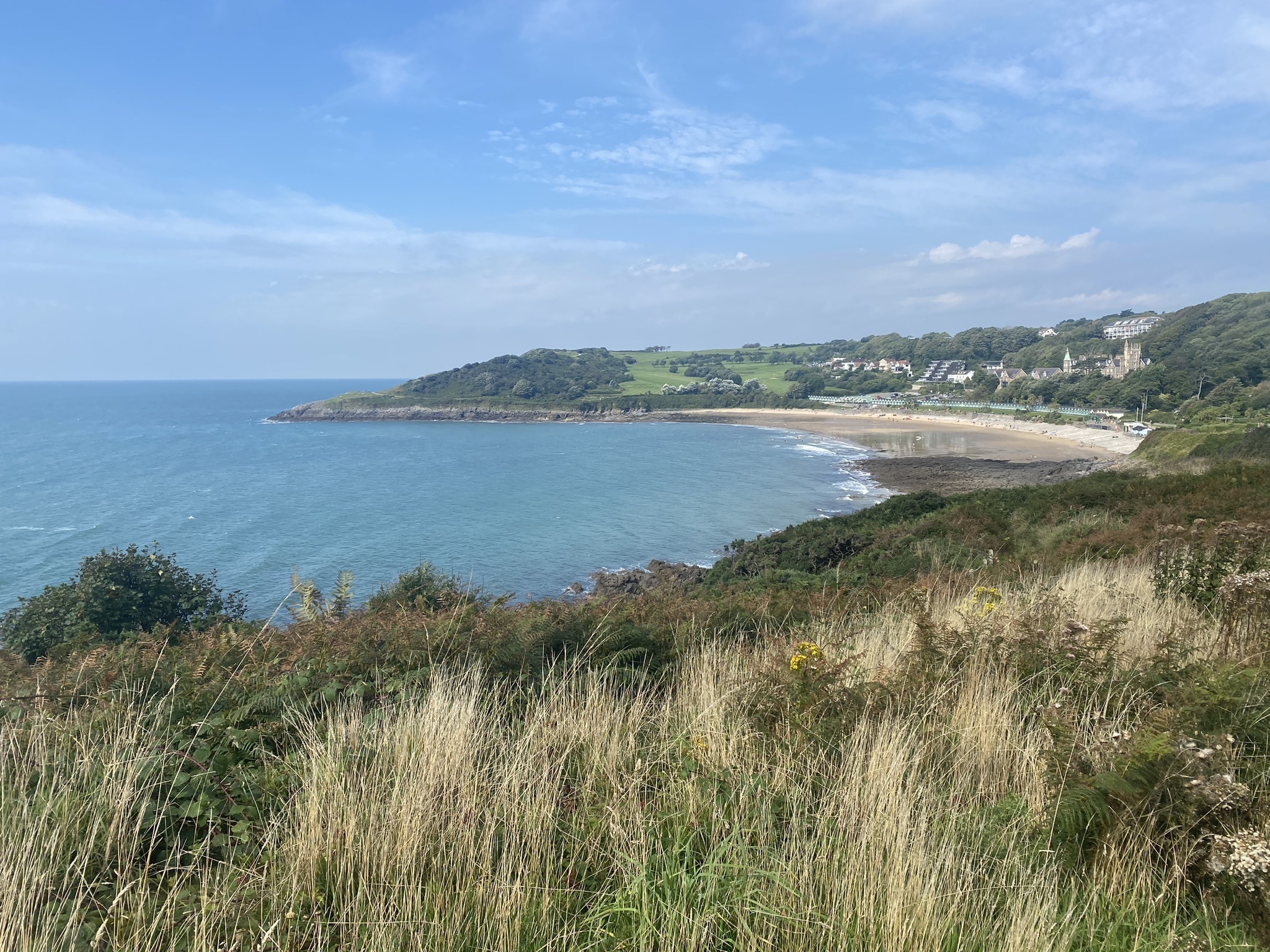
Bracelet Bay to Langland Bay
Out & back • ~5.5 km • ~1 h 17 m. Easy, scenic stretch of the Wales Coast Path with cafes at both ends.
Route guide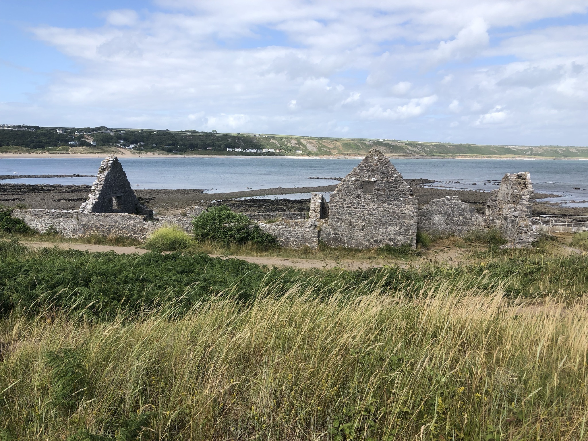
Rhossili to Paviland Cave
One-way or out & back • ~6.9 km • ~1 h 51 m. Spectacular cliff scenery; care near edges and in wet weather.
Route guide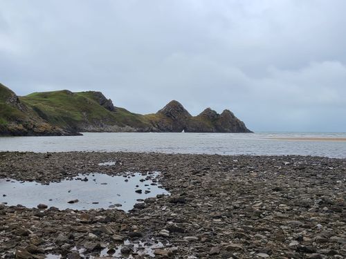
Three Cliffs Bay (short)
Out & back • ~3.7 km • ~46 m. A quick hit of classic Gower views; some sand and dune walking.
Route guide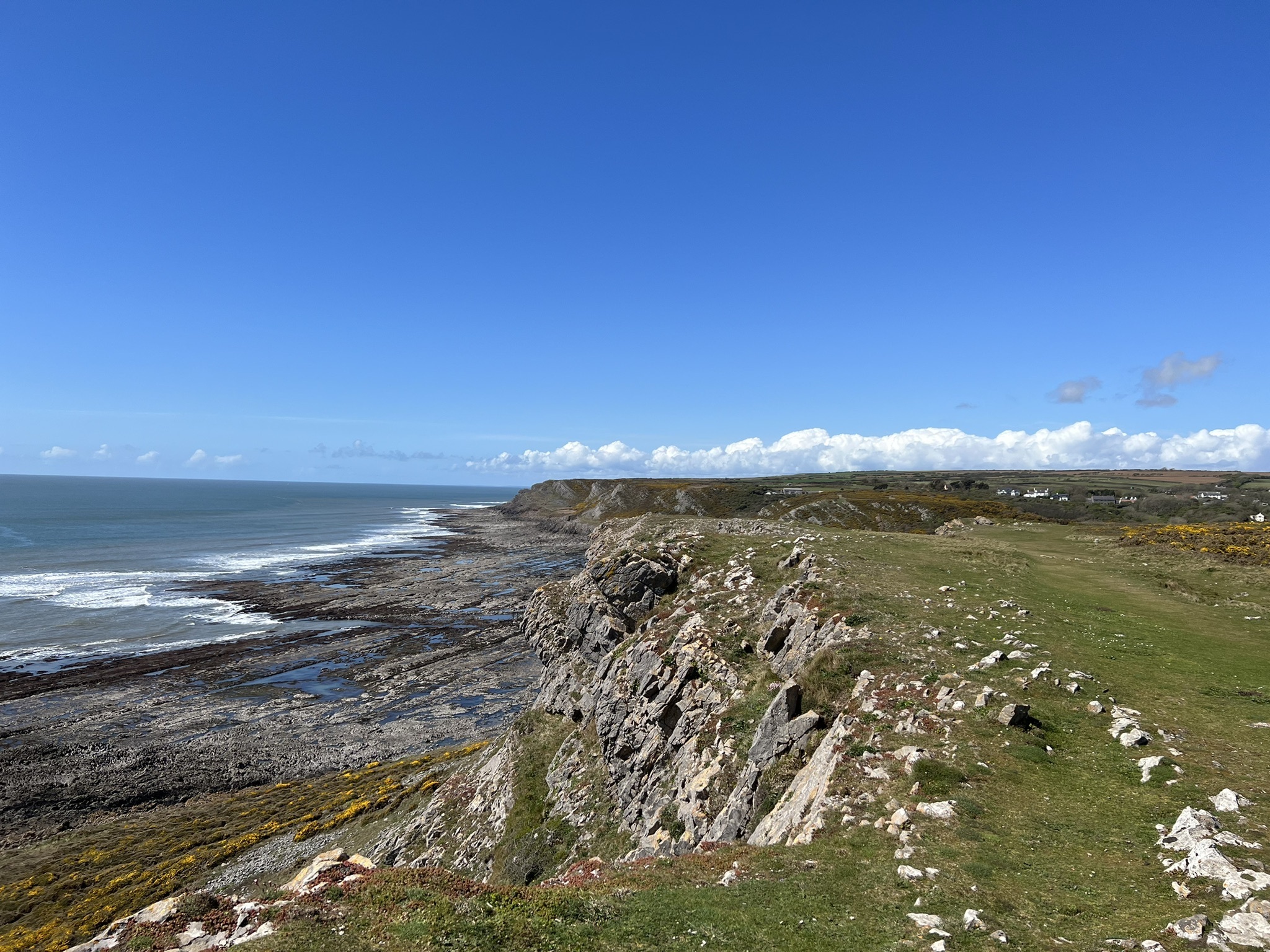
Port Eynon Coast Walk
Out & back • ~7.6 km • ~1 h 45 m. Gentle coastal sections with sea views and beach options.
Route guide
Whiteford Lighthouse to Burry Holms
Circular • ~17.5 km • ~3 h 48 m. Big, wild north-Gower circuit; long beach sections and estuary views.
Route guide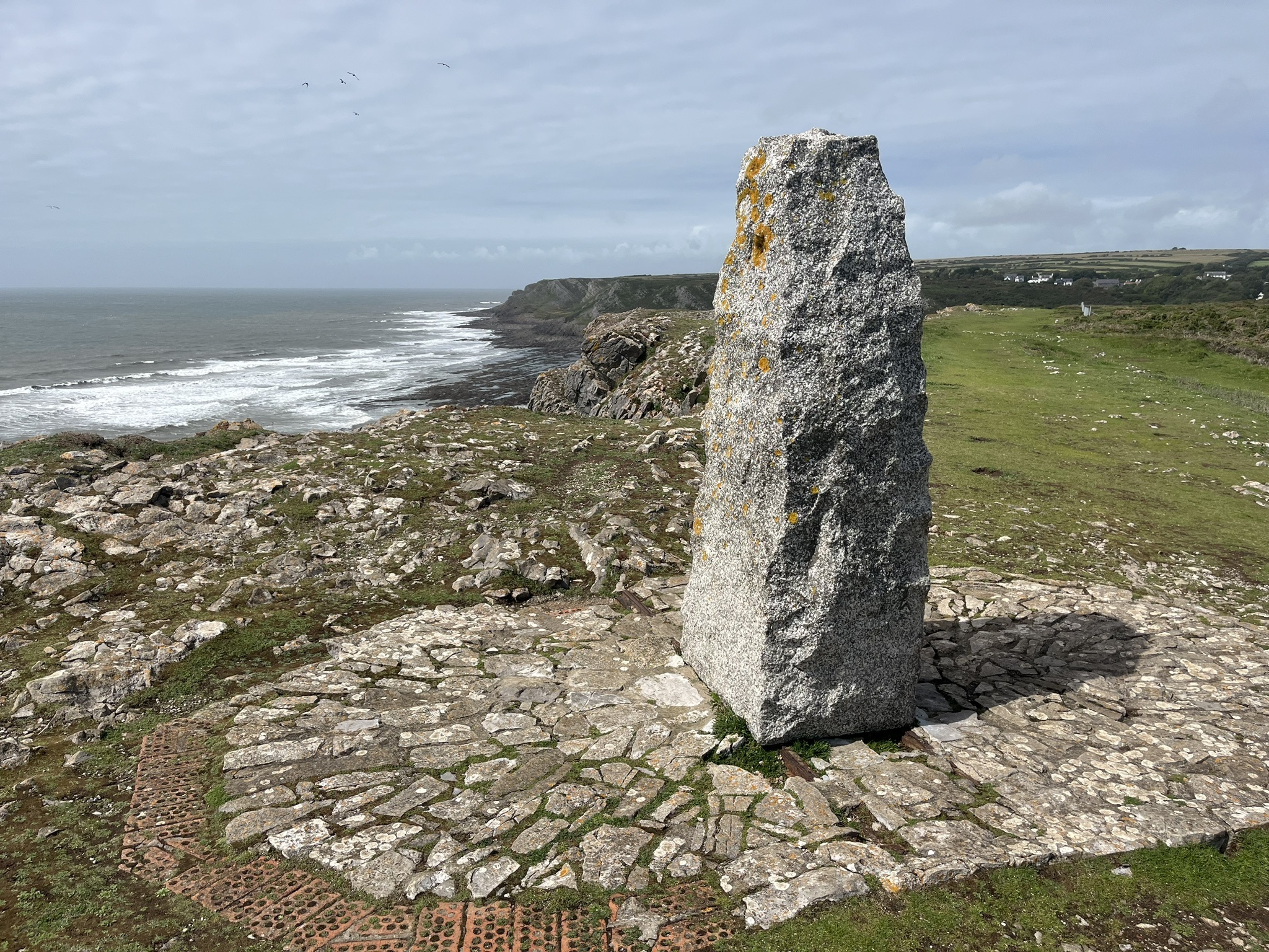
Culver Hole Circular
Circular • ~2.3 km • ~31 m. Short, fascinating loop near Port Eynon/Overton; uneven underfoot.
Route guide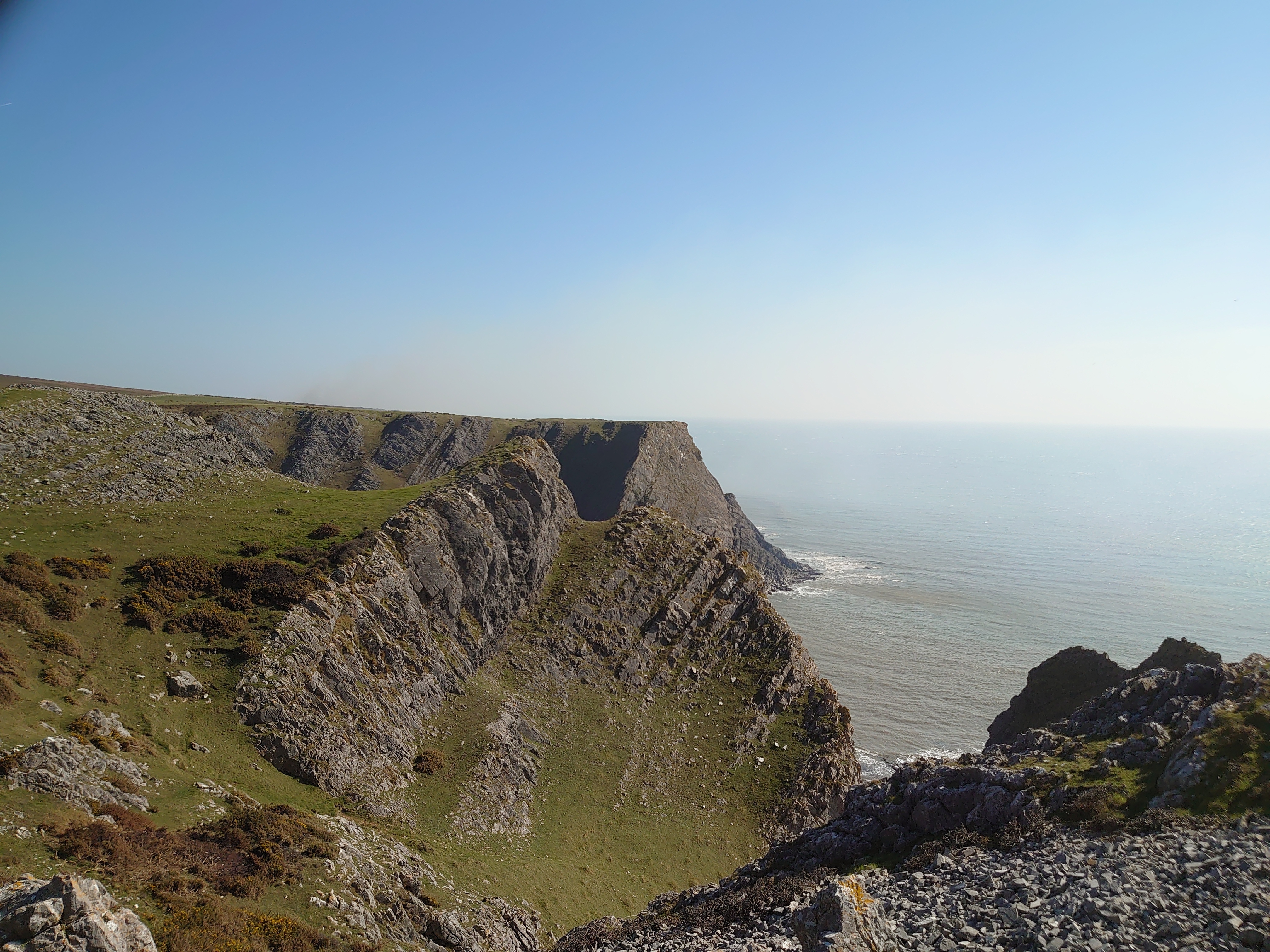
Pitton to Long Hole Cliff
Out & back • ~11.4 km • ~2 h 54 m. Quiet coastal stretch with dramatic limestone scenery.
Route guide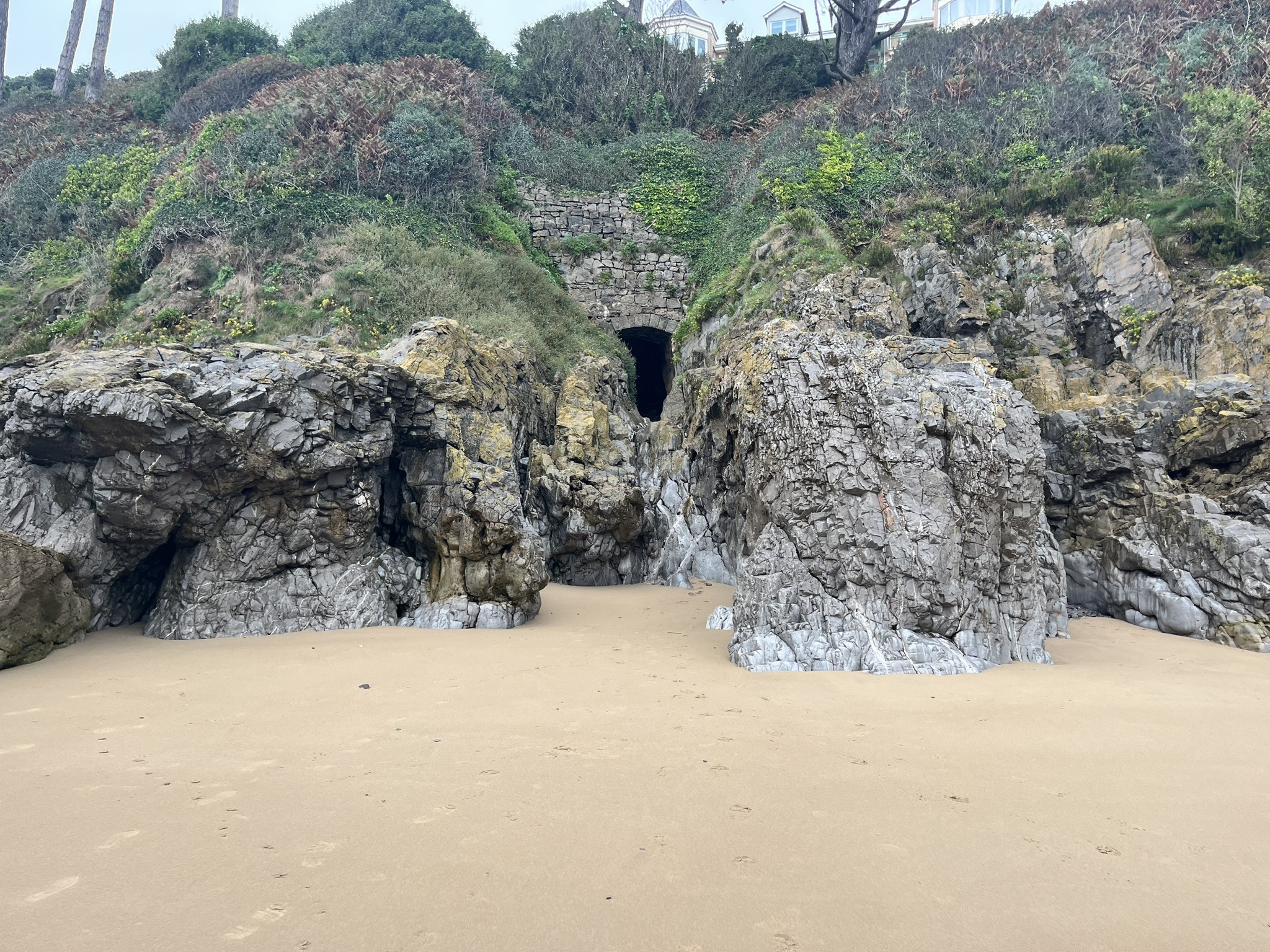
Caswell to Pwll Du Head
Out & back • ~5.8 km • ~1 h 25 m. Classic east-Gower headlands with options to continue to Pwll Du Bay.
Route guide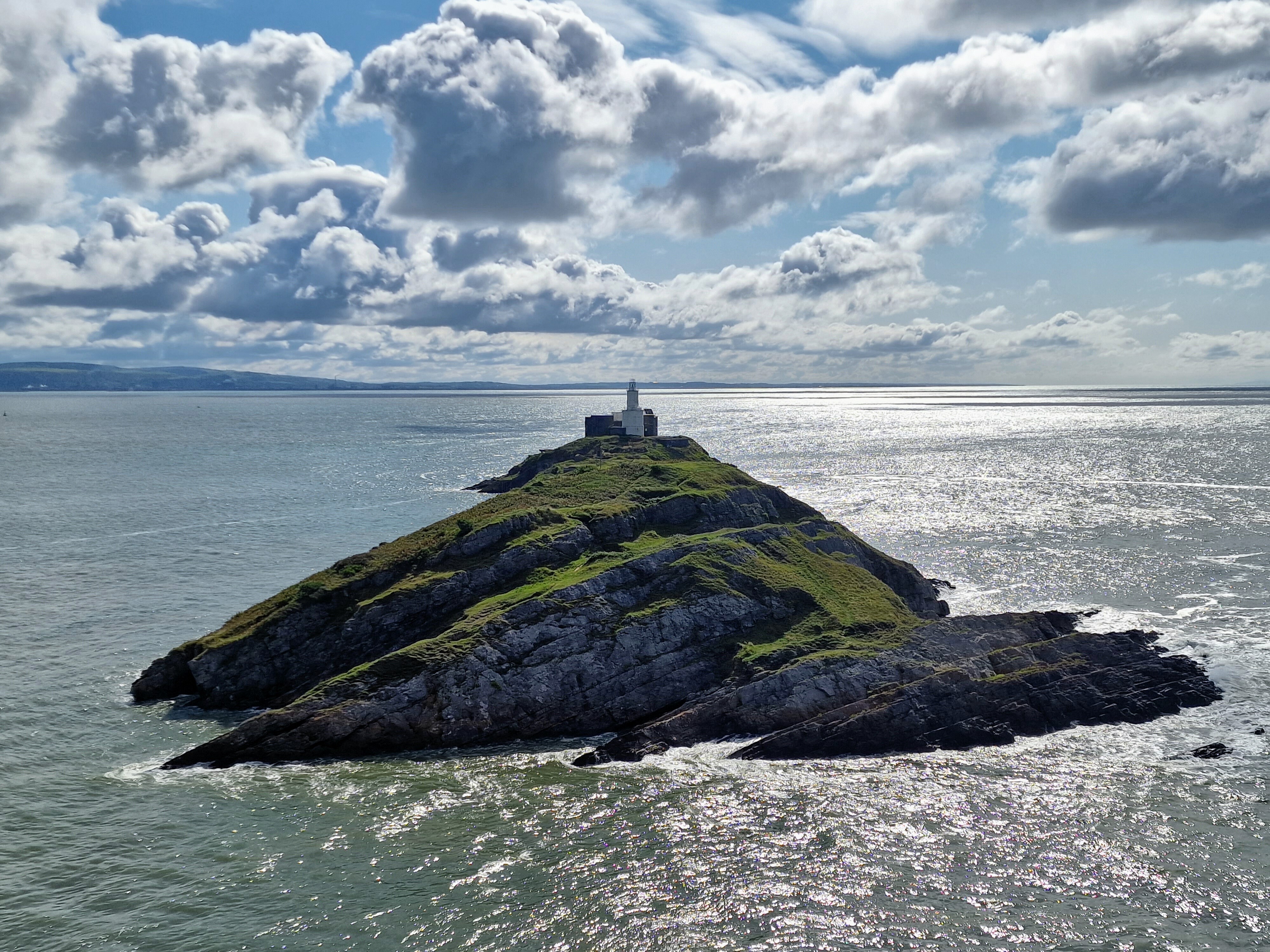
Mumbles Hill Nature Reserve
Circular • ~3.2 km • ~53 m. Short, view-packed loop above Mumbles with wildlife interest.
Route guide
Leather’s Hole Circular
Circular • ~14.5 km • ~3 h 32 m. Longer day out on rugged coast path; exposed in strong winds.
Route guide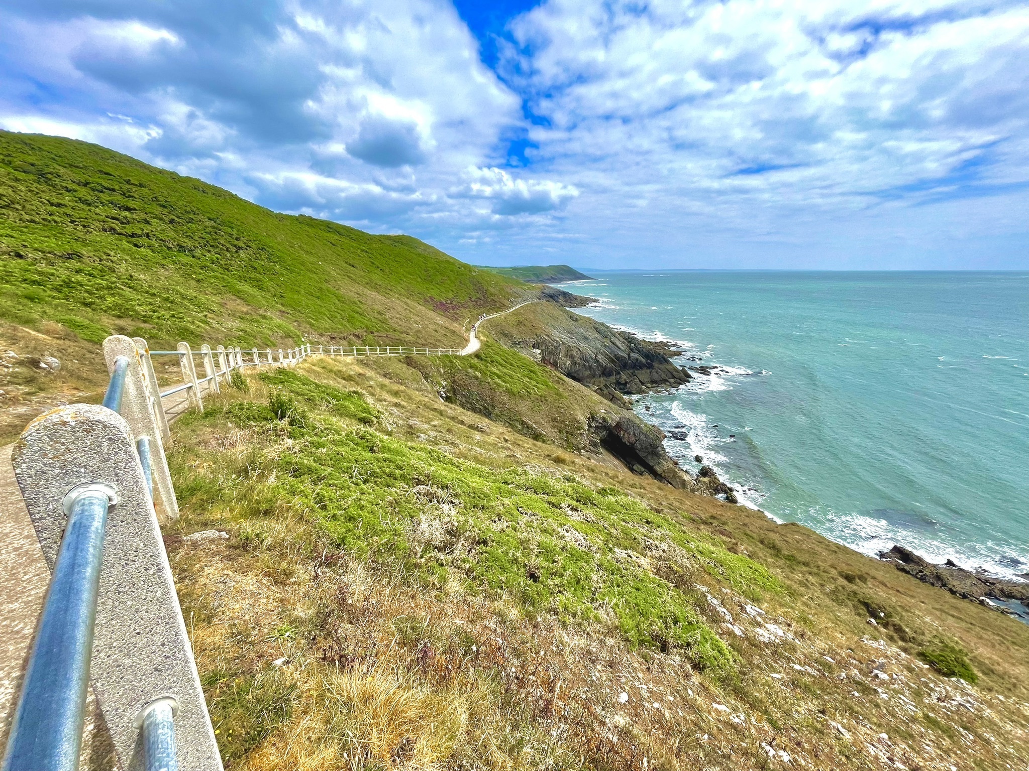
Upper Killay – Three Cliffs Circular
Circular • ~29.3 km • ~7 h 01 m. Big full-day loop linking commons, dunes and cliff scenery.
Route guide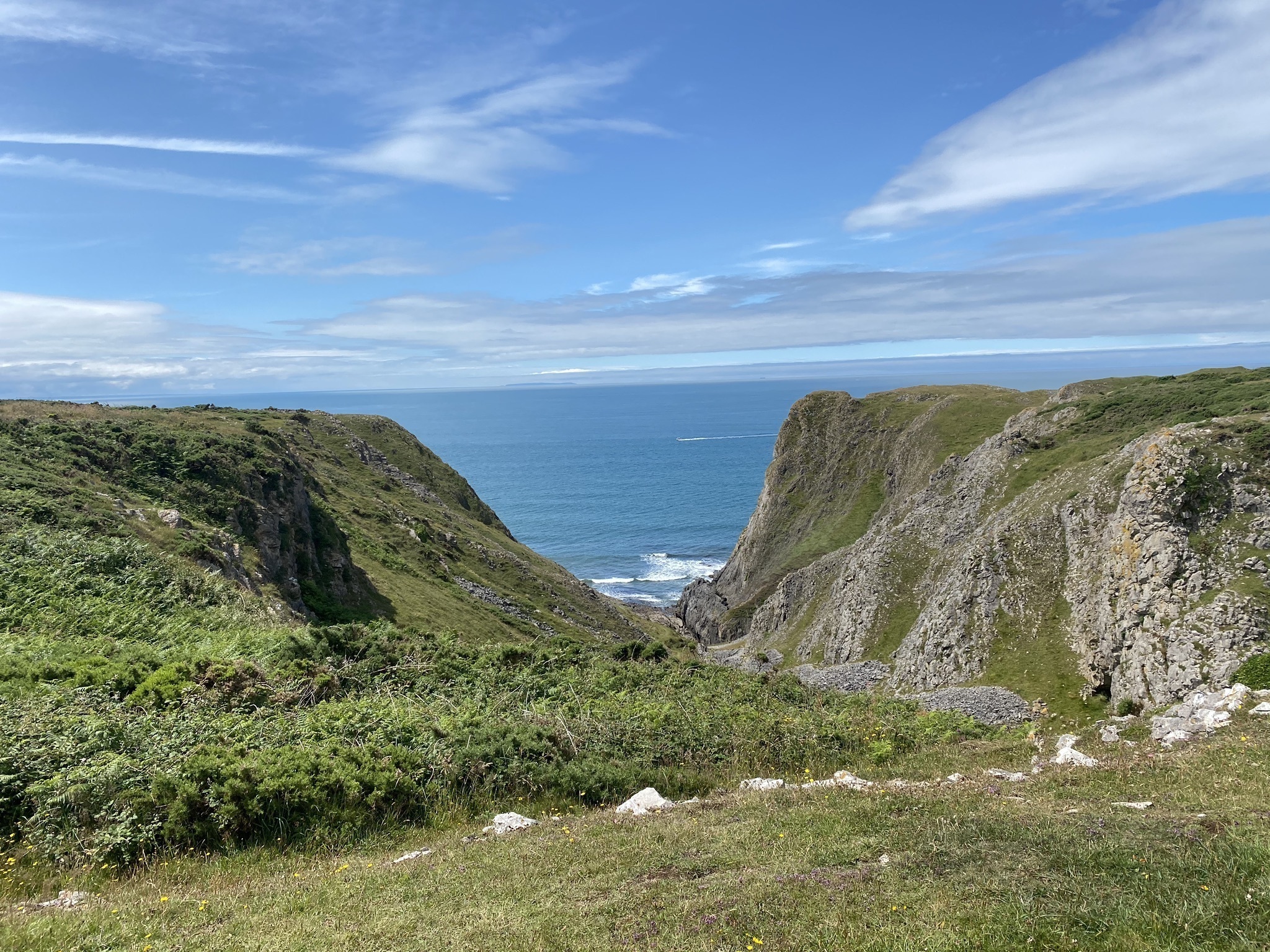
Paviland Cave & Fox Hole (Slade)
Out & back • ~3.1 km • ~52 m. Short exploratory route to famous caves; take care near cliff edges.
Route guide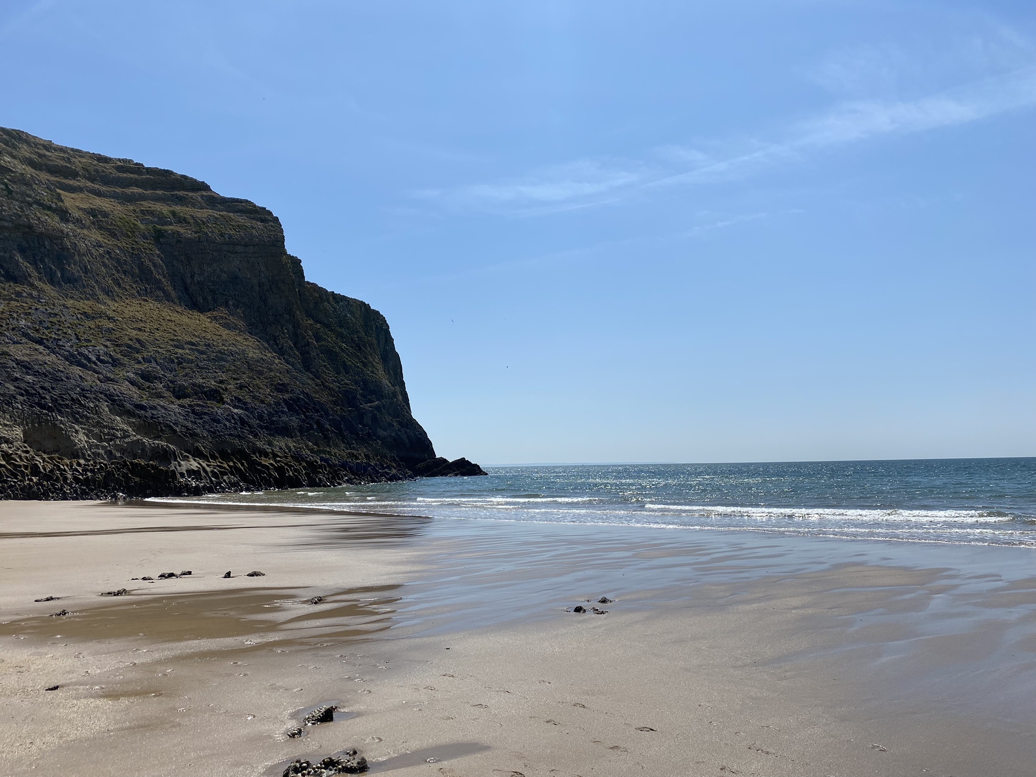
Mewslade and King Arthur
Out & back • ~2.9 km • ~44 m. Compact coastal ramble with rocky interest; can be muddy after rain.
Route guide